Description
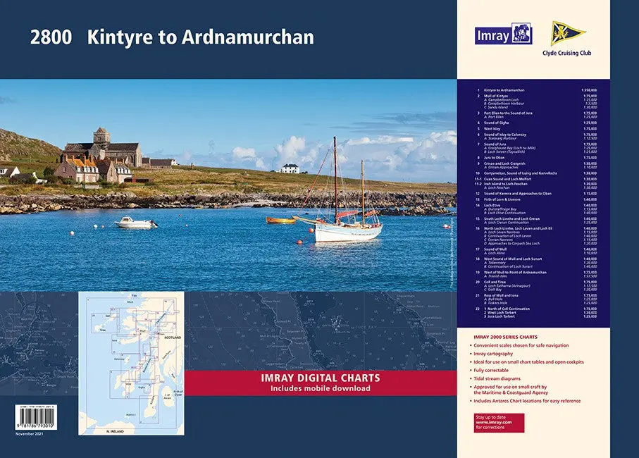
This complete redesign of our 2800 Kintyre to Ardnamurchan chart pack now includes more detailed coverage of the area and comes as a paper and digital edition.
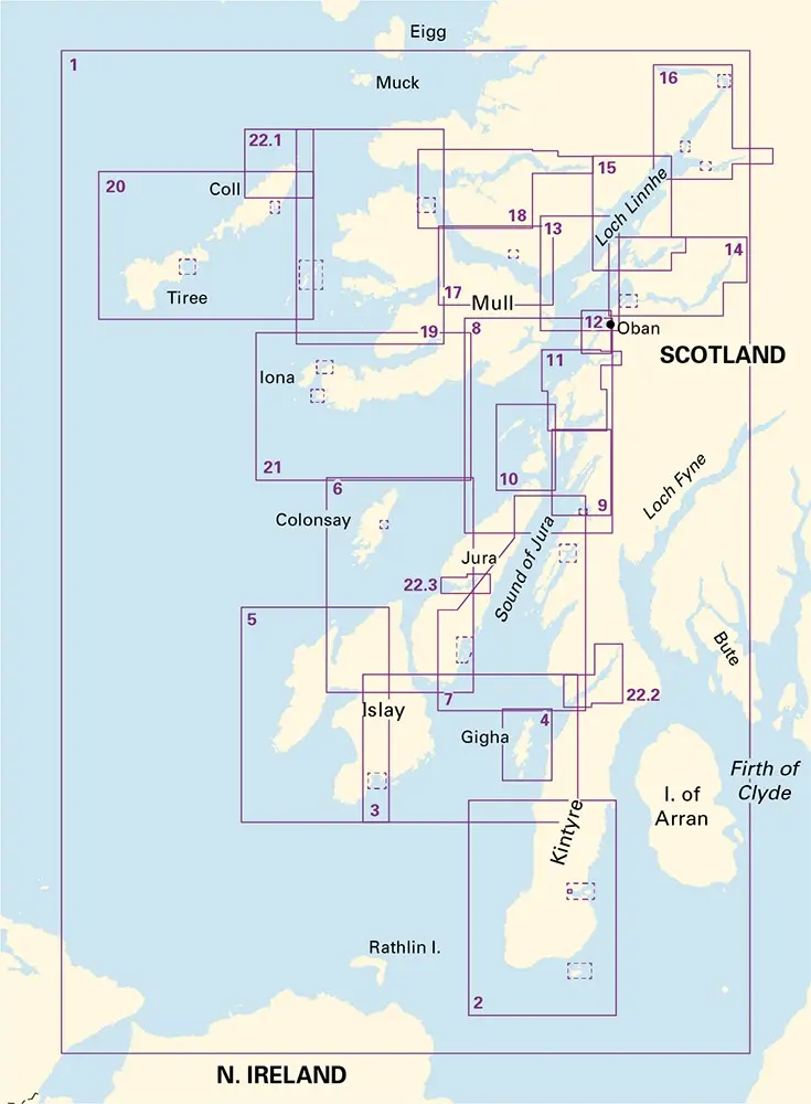
This edition consists of 11 extra chart sheets, twice the coverage of the previous edition, and incorporates all the latest official bathymetric surveys.
Created in association with the Clyde Cruising Club for use alongside their sailing directions, coverage includes detail of this delightful area of Scotland and there is reference to the popular large scale Antares Charts.
The 22 chart sheets in this pack provide all the necessary information for passage planning, detailed approach to yacht havens and marinas, and the numerous anchorages and sailing areas recommended for small craft.
Coverage includes large scale charts from Kintyre sailing north, with newly included charts of Kintyre, Gigha, Islay, Jura and Colonsay. Large scale coverage continues with Mull, Loch Linnhe, Lock Etive, Lock Sunart Coll, Tiree to Ardnamurchan.
Explore more from our collection.
Reviews
There are no reviews yet.