
Description
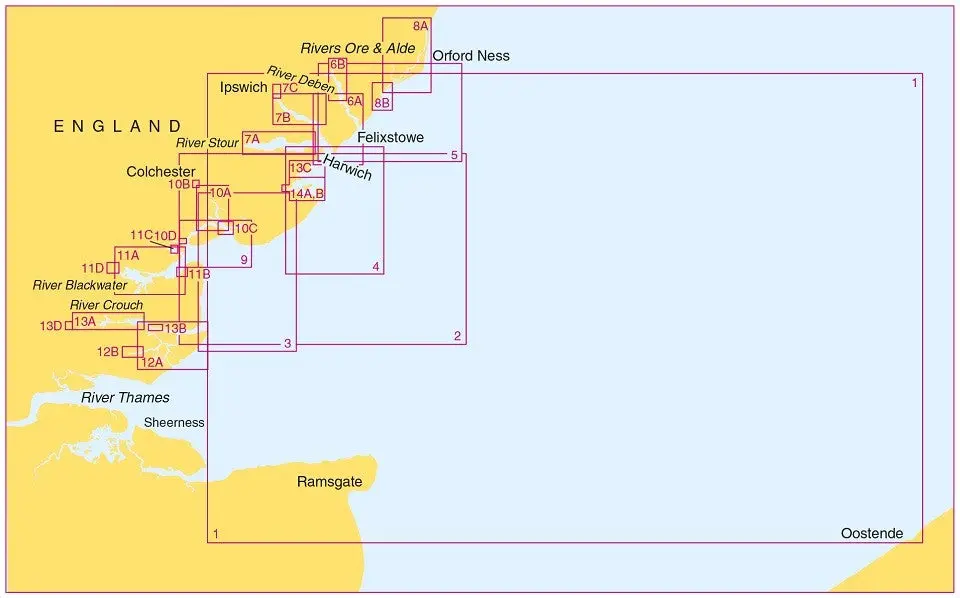
Large scale Thames Estuary, Essex and Suffolk Coast small craft folio, including 14 charts covering from Rivers Ore and Alde to Foulness Point.
Charts included:
5607.1 – Orford Ness to Oostende – 1:250,000
5607.2 – Foulness Point to Landguard Point – 1:100,000
5607.3 – Outer Approaches to the River Blackwater – 1:50,000
5607.4 – Southern Approaches to Harwich – 1:50,000
5607.5 – Harwich to Orford Ness – 1:50,000
5607.6
-A: Approaches to Harwich and Woodbridge Haven – 1:25,000
-B: Continuation of the River Deben – 1:25,000
5607.7
-A: River Stour – 1:25,000
-B: River Orwell – 1:25,000
-C: Ipswich – 1:10,000
5607.8
-A: Rivers Ore and Alde – 1:25,000
-B: Orford Haven and Approaches – 1:25,000
5607.9 – Approaches to Mersea Island and Brightlingsea – 1:25,000
5607.10
-A: River Colne – 1:25,000
-B: Colchester Quays – 1:12,500
-C: Brightlingsea – 1:12,500
-D: West Mersea – 1:12,500
5607.11
-A: River Blackwater, Bradwell to Maldon – 1:25,000
-B: Bradwell – 1:12,500
-C: Tollesbury – 1:12,500
-D: Maldon – 1:12,500
5607.12
-A: Rivers Crouch and Roach – 1:25,000
-B: Continuation of River Roach – 1:25,000
5607.13
-A: Continuation of River Crouch – 1:25,000
-B: Burnham-on-Crouch – 1:10,000
-C: Entrance to Walton Backwaters – 1:12,500
-D: Continuation to Battlesbridge – 1:25,000
5607.14
-A: Walton Backwaters – 1:12,500
-B: Continuation of Landermere Creek – 1:12,500
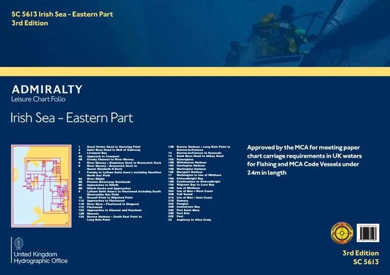
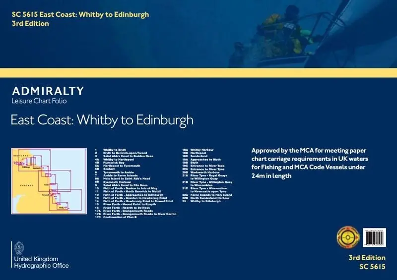
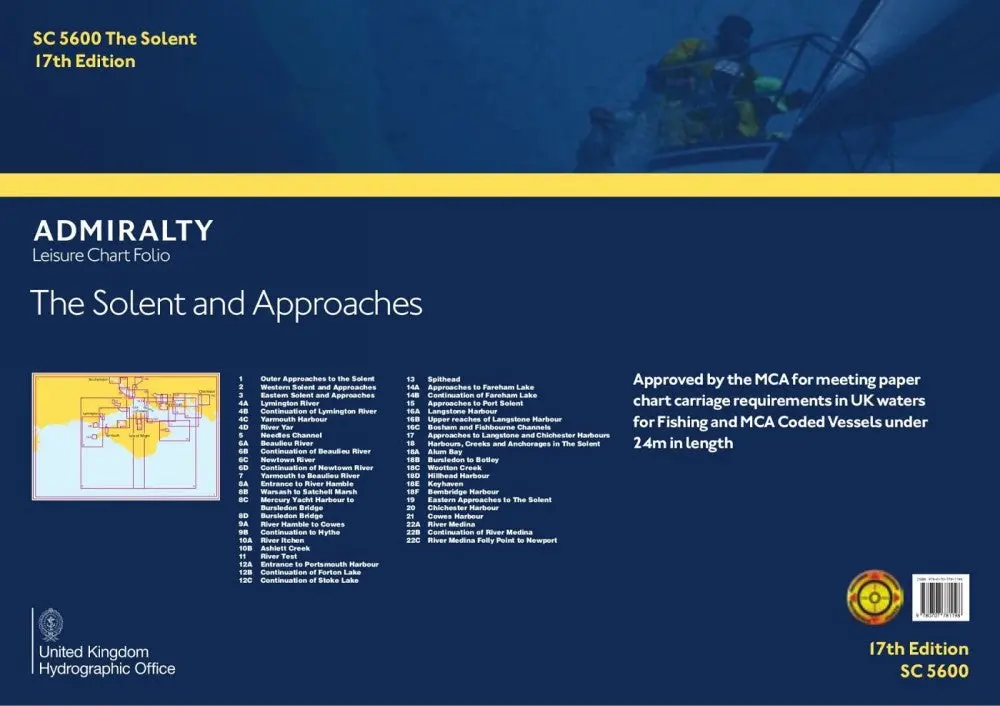
Explore more from our collection.
Reviews
There are no reviews yet.