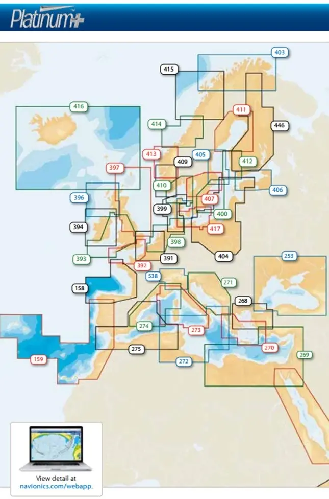
Description
Navionics+ offers the best value and the widest database of marine and lakes content within Nautical Chart, SonarChart™ and Community Edits selectable layers and daily updates for one year. You’ll appreciate the impressive contour lines shown with a density up to one foot. With Navionics+, you can also utilize advanced features such as Autorouting and Plotter Sync on select plotter models.
All the essential cartographic reference detail
The most accurate and thorough set of information, based on Hydrographic Office data, Notices to Mariners, new publications, our own surveys, and reports from users. Nautical Chart provides port plans, safety depth shading, marine services info, tides & currents, navigation aids and more.
Local inputs, great benefit
All kinds of valuable local information, added by millions of Navionics app users, such as seasonal buoys, lights, rocks, moorings, boat ramps, and points of interest like restaurants and provisioning shops.
Buy a blank card from us to download/update yourself, alternatively, let us know which area you would like and we’ll do it for you.
Explore more from our collection.
Reviews
There are no reviews yet.